05 Nov Will There Be More Atlantic Hurricanes in 2024?
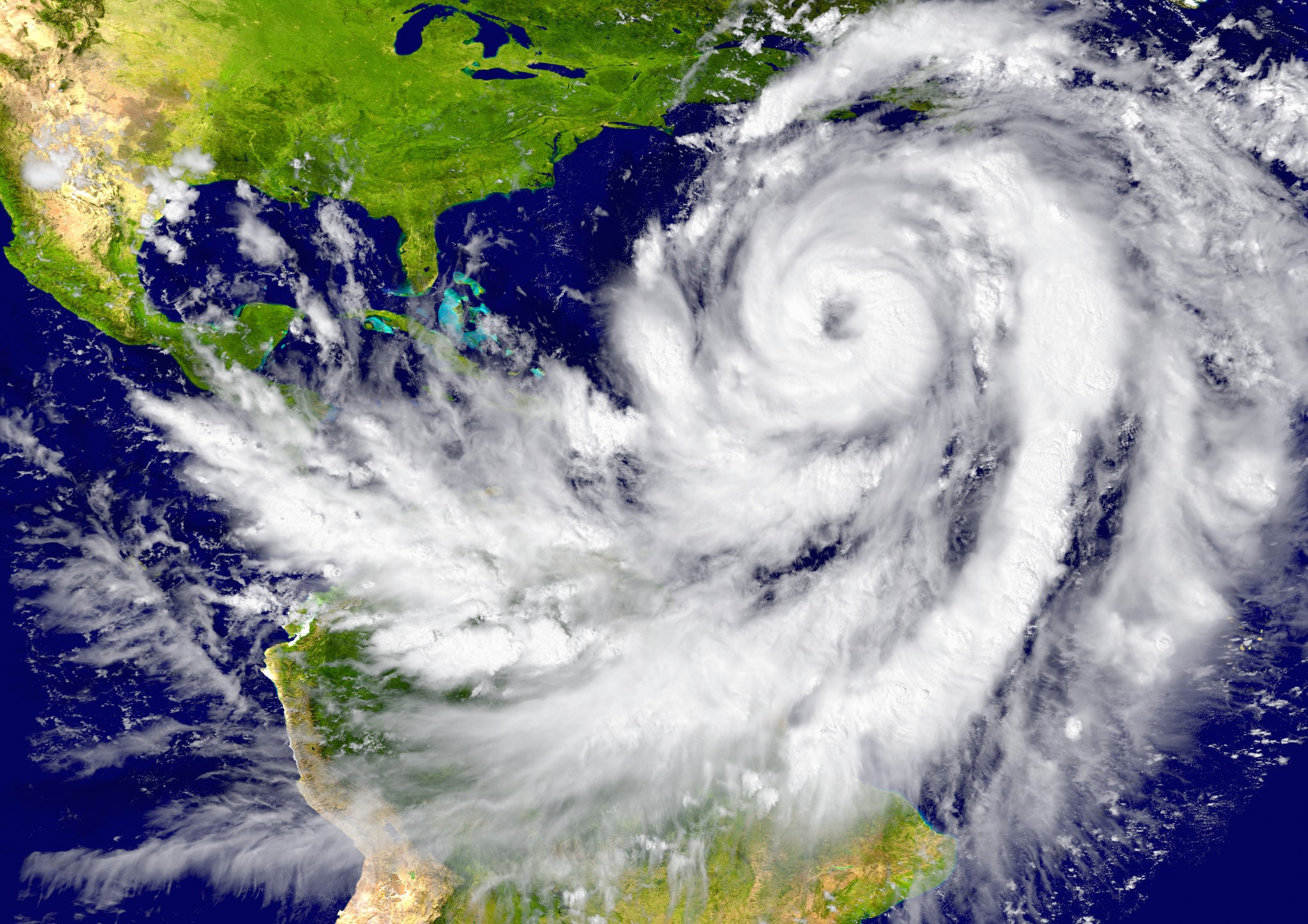
The 2024 Atlantic hurricane season has been anything but predictable. Warmer-than-usual ocean temperatures and late-blooming storms have raised questions among experts. Many are wondering if we’ll see even more hurricanes before the season ends.
Although the peak season has passed, the National Hurricane Center (NHC) is currently tracking three disturbances in the Atlantic. One of these has a strong chance of developing into a tropical depression. With favourable conditions still in place, there’s a real possibility that more storms could form before the season officially ends on November 30.
This season’s unique characteristics—unusually warm waters, rapid intensification, and late-season activity—result from a mix of natural and climate-driven factors. In this article, we’ll explore these dynamics, the forces that could either limit or drive storm formation, and what we might expect for the remainder of 2024.
Record-Breaking Ocean Temperatures as a Catalyst
Record-high sea surface temperatures in the Atlantic Basin, Caribbean, and Gulf of Mexico have been a major driver of storm formation in 2024. According to the National Oceanic and Atmospheric Administration (NOAA), these “feverish” waters are fueling storm development, even this late in the season.
Atmospheric scientist, Jennifer Francis, explains that warm waters act as an energy source for tropical cyclones. This energy allows late-forming storms to intensify quickly as they pass over warm regions.
The Atlantic’s average sea surface temperature has been nearly 1°C above the 1991-2020 average, creating ideal conditions for storm growth. Historically, temperatures at this level were rare, but climate change is making them more common.
Experts warn that if these warm waters continue, they could sustain hurricane activity into November, or even December, as seen in previous years.
These record temperatures have already fueled several notable storms. Hurricanes Helene and Milton both formed later than expected, intensifying rapidly over warm waters. With ocean temperatures still high, any disturbances that form are likely to gain strength quickly.
Factors Limiting Hurricane Formation in 2024
Despite warm ocean temperatures, other atmospheric factors have limited hurricane formation in 2024. Wind shear, Saharan dust, and high-pressure systems have all played roles in suppressing storm development, particularly during the peak season in September.
Wind shear, which involves changes in wind speed and direction at different altitudes, has been a strong deterrent to storm formation. In early November, a cold front created high wind shear across the Gulf of Mexico, disrupting potential storm development in the region.
Meteorologist Michael Lowry noted that “hostile” winds over the Gulf would likely prevent any disturbances from reaching the U.S. Strong shear tears apart storm structures before they have a chance to intensify, lowering the likelihood of major storms in the Gulf.
Similarly, Saharan dust moving across the Atlantic has hindered storm formation. This dust introduces dry air layers that reduce humidity, creating a more stable atmosphere and limiting storm development.

In the Main Development Region (MDR) for hurricanes, sea temperatures have been high, which typically favours storm growth. However, the Saharan dust has countered these warm waters by creating less favourable atmospheric conditions for storms to thrive.
These factors offer some hope that hurricane numbers may stay near average for the remainder of the season. However, experts caution that conditions could still change. If wind shear decreases in certain areas, it could create opportunities for late-season hurricanes to form.
Rapid Intensification and Late-Season Hurricanes
One of the defining features of the 2024 hurricane season has been the rapid intensification of storms. This trend is closely linked to warm ocean temperatures. Rapid intensification happens when a storm’s maximum sustained wind speed rises by at least 30 knots (35 mph) within 24 hours.
In 2024, several storms displayed this behaviour, transforming from weak systems into major hurricanes in just a few hours. This rapid intensification has become a recurring pattern throughout the season.
Hurricane Milton is a key example of this phenomenon. Milton’s winds strengthened by over 90 mph within 24 hours, setting a record for one of the fastest intensifications ever recorded. Data show that only between 20–30% of hurricanes typically undergo rapid intensification. However, this season, four out of five recent hurricanes have intensified quickly.
Experts link this rapid growth to unusually warm waters. These warm seas act as “heat reservoirs,” giving storms more energy as they pass through. This added energy allows them to strengthen at an unprecedented pace.
Late-season hurricanes that form over these warm waters are more likely to experience rapid intensification. The potential for these intense, fast-forming storms raises risks for coastal communities. These hurricanes can develop with minimal warning, leaving residents with less time to prepare for impact.

How Climate Change Is Shaping Hurricane Activity
Climate change is intensifying hurricane activity in various ways, and the 2024 season clearly shows these effects. Studies indicate that climate change is making Atlantic hurricanes more likely to strengthen from weak to major storms in shorter time frames. Warmer ocean temperatures, fueled by global warming, provide the energy needed for these rapid changes.
Experts from the World Weather Attribution group found that climate change has intensified storms like Beryl, Helene, and Milton. These hurricanes, which grew stronger over warm waters, highlight how climate change is creating more powerful storms that cause greater damage.
Data shows that warmer oceans lead to stronger hurricanes and increase rapid intensification events, especially in the later part of the season. This trend is a clear signal of the changing climate’s impact on storm behaviour.
Scientists worry that as global temperatures keep rising, the frequency and strength of hurricanes will continue to grow. Warmer seas are giving storms more power, making each hurricane season potentially more destructive than the last.
The 2024 season alone demonstrates that climate change is already altering hurricane patterns. This trend is likely to continue, raising concerns for future hurricane seasons.
What to Expect for the Rest of 2024
With the official hurricane season still underway, meteorologists are closely monitoring developments in the Atlantic. The National Hurricane Center (NHC) is currently tracking three disturbances. One of these, a low-pressure system in the southwestern Caribbean, has a 70% chance of developing into a tropical depression within the next week.
Strong winds over the Gulf of Mexico are expected to prevent this system from reaching the U.S. However, it could still impact parts of Mexico and Central America. This potential path highlights the broader risks still present in the region.
High sea surface temperatures and La Niña conditions are expected to support further hurricane formation in November. However, the chance of these storms reaching the U.S. is low due to strong wind shear patterns across the Gulf.
If new storms do form, they will likely stay in the western Atlantic, Caribbean, or Gulf of Mexico, where conditions are still favourable. This limited region could see additional activity as the season continues.
Historically, hurricane activity in November tends to be lower. But with the unusually warm Atlantic waters this year, it’s hard to rule out more hurricanes. Experts advise residents in vulnerable areas to stay alert and keep their preparedness plans active through the season’s end.
An Eye on the Future: Preparing for the New Normal
The 2024 hurricane season has been a wake-up call about how hurricanes are changing. As climate change continues to warm the oceans, hurricanes are becoming stronger, more frequent, and more likely to strike later in the season. For coastal communities, this means a greater risk of powerful storms and less time to prepare, especially with rapid intensification becoming more common.
Adapting to this new reality requires both preparation and proactive policies. Governments and communities must strengthen coastal defences, improve emergency response systems, and educate residents on hurricane preparedness. As hurricane seasons become more intense, it’s essential to create strategies that help communities withstand these stronger storms.
For now, experts are urging people to stay vigilant. Even as the season nears its end, warm oceans and La Niña conditions could still support one last storm. By understanding the factors behind this season’s unusual patterns, we can better prepare for the future and adjust to a world where extreme weather is becoming the new normal.
About CheckCarbonFact
CheckCarbonFact is a social accountability platform for promoting sustainability and responsible climate action by citizens, businesses and government. Read more about us here: https://checkcarbonfact.com/about/
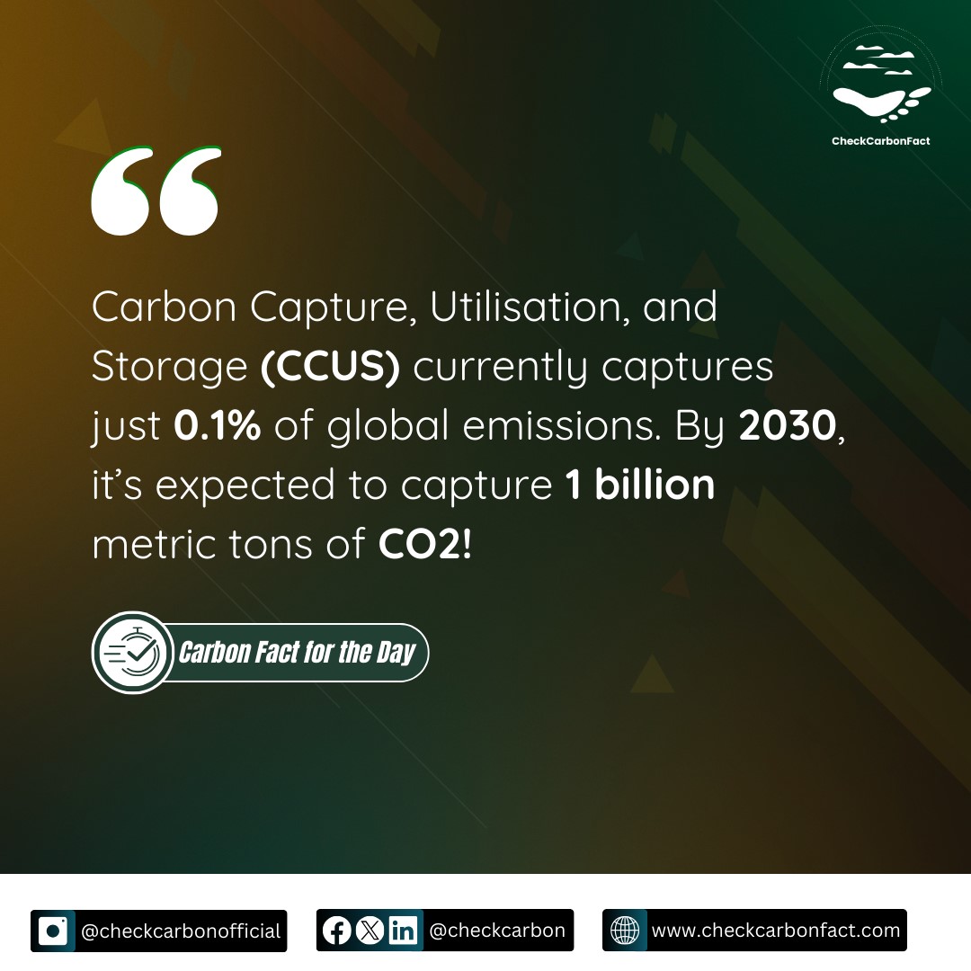
Carbon Fact for the Day


No Comments